
Ordnance Survey
North Cornwall
There are some great Cornwall Maps available from Ordnance Survey - we have rounded up our favourites below!
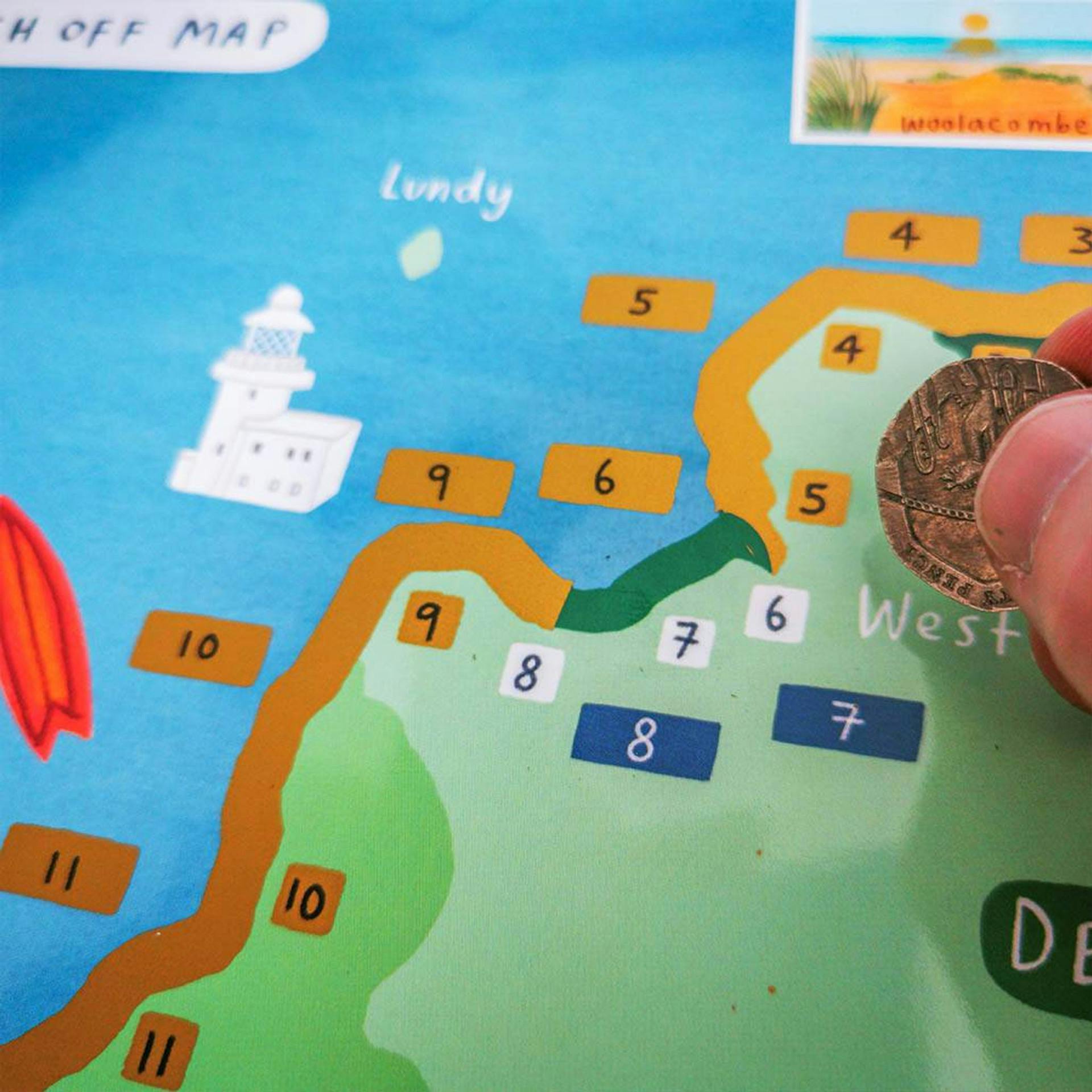
South West Coast Path Scratch Off Map 
This fantastic fun map covers all 630 miles of the UK’s longest and best-loved National Trail broken down into 52 easy to walk sections as suggested by the SW Coast Path Association. The path starts in Somerset, takes in Devon and Cornwall on all sides and finishes in Dorset. As you make progress, scratch off the path on the map. There are also 20 places of interest to scratch off covering peaks, waterfalls and historic places!
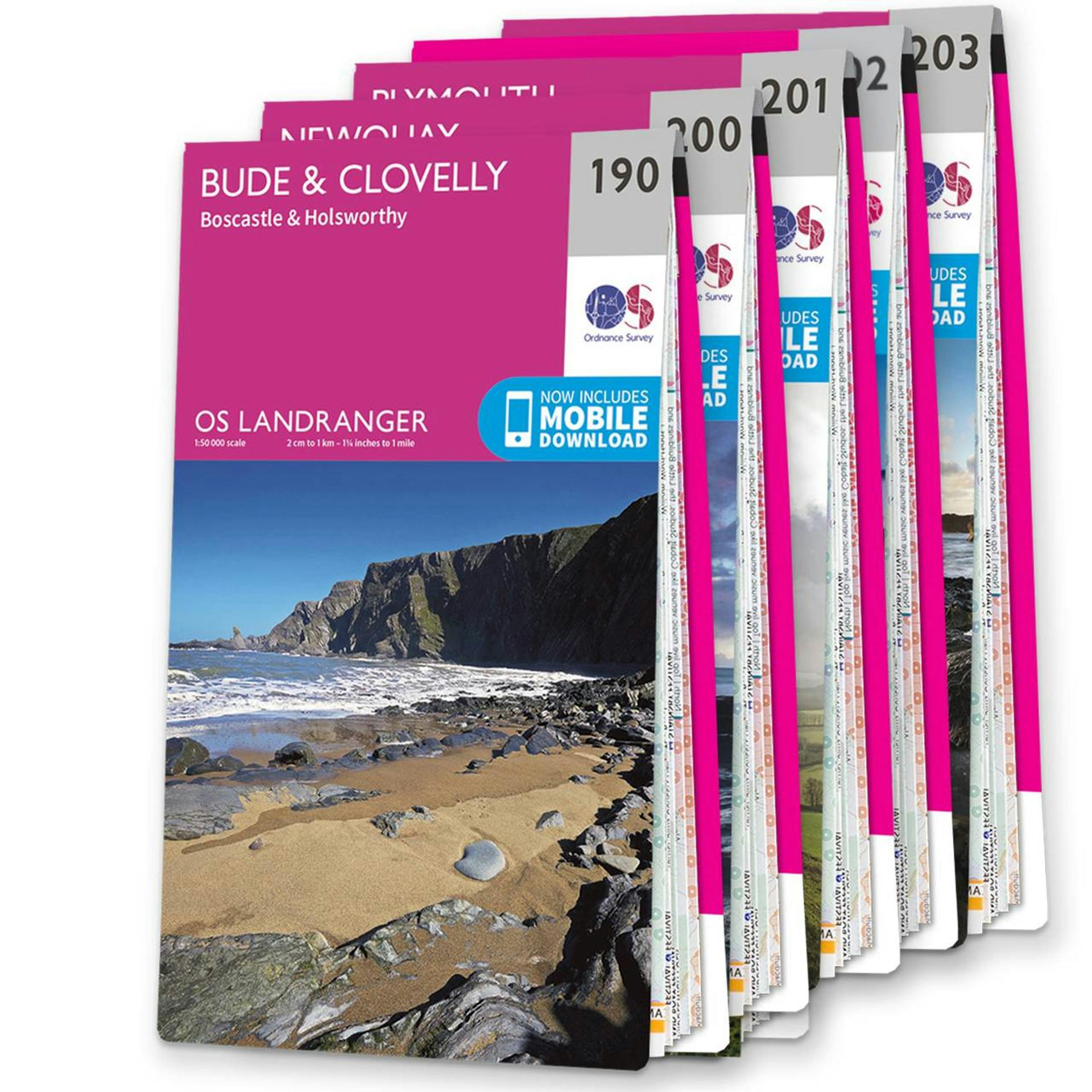
 OS Landranger Cornwall map set - standard version
This map bundle contains all six OS Landranger Maps for the Cornwall with a discount of 20% compared to the cost of buying them individually, and is available in both standard and weatherproof 'Active' versions. Whatever activities you plan on your visit, you can make the most of it with Ordnance Survey maps.
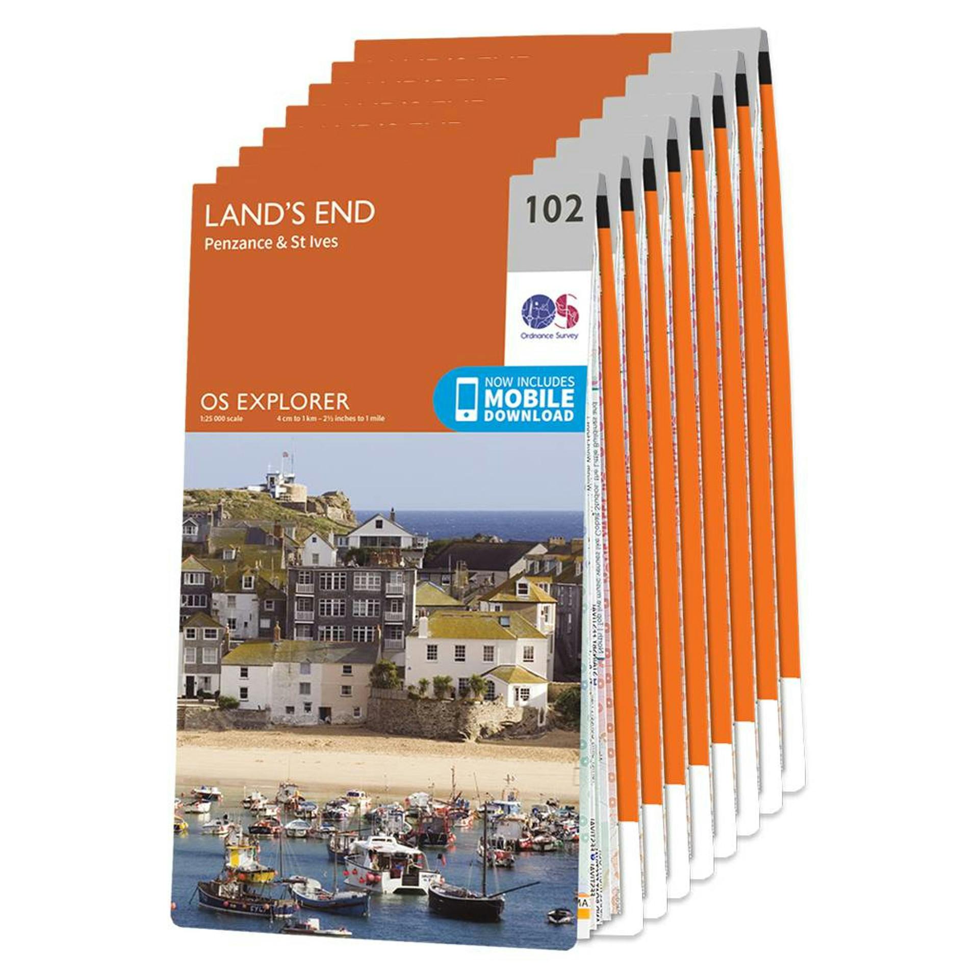
 OS Explorer Cornwall map set - standard version
This OS Map bundle contains the OS Explorer maps covering Cornwall, from the spectacular rugged coastline and beaches to the more tranquil southern coast and some of the most beautiful and unique moorland and woodland scenery.
Includes map sheet numbers 109, 111, 102, 105, 104, 103, 107 and 106 in the OS Explorer map series.

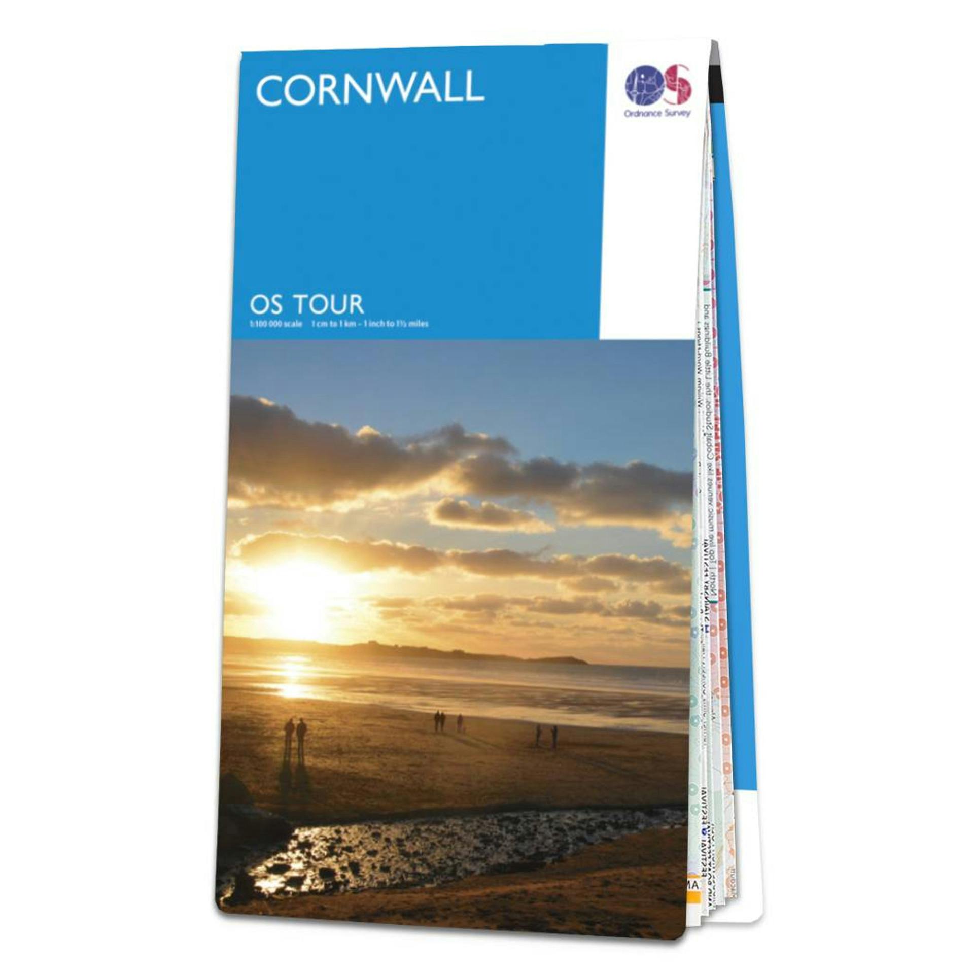
Single Cornwall OS Tour map at a 1:100,000 scale .
Since the 1800s, Ordnance Survey has been producing maps and guides. They are experts in navigation and mapping, with a passion for adventures of all kinds. Their range of products has expanded from the iconic paper maps to the latest technology such as GPS devices.